World to floor
Zoom from global context down to a single room
The FORMATION Map is a continuous spatial model. You can start at world view, zoom into a campus, drill into a building, and move across floors without losing context.
- Zoom from world view to floor level in one continuous Map.
- Outdoor areas, buildings, corridors, and rooms in the same spatial system.
- Switch between floors without losing your position.
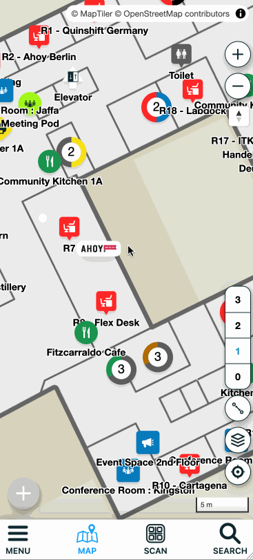
Buildings & floors
Accurate indoor layers aligned to the real world
Indoor maps start from floor plans, then get aligned to the outdoor map so every room sits in the correct real-world position. This makes it possible to navigate seamlessly between outdoor and indoor environments.
- Upload floor plans, scale, rotate, and define walking paths.
- Georeference indoor layers to outdoor building footprints.
- Add rooms, zones, and points of interest with Map Markers.

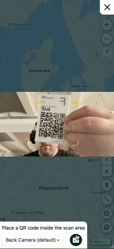
Search & Navigation
Find people, assets, and places in seconds
Search is the fastest way into the Map. Type a room, asset, or label and get instant results. Navigation then gives people a clear path through buildings and across sites.
- Search across assets, rooms, and Map Markers.
- Navigation works indoors and outdoors, no positioning hardware required.
- Routes update as your Map evolves.

Rich Map Markers
Context that turns maps into real information systems
Map Markers are mini web pages with their own link. They can hold rich text, media, and structured information to document your space and guide people to what matters.
- Rich text, photos, gifs, and video.
- Deep links into your own tools and systems.
- Shareable links for easy collaboration.

Technical reading
How we think about maps